The route. 10 miles. 7500' vertical up and down.

After a couple miles you come to (Lower) Red Pine Lake.


The creek between Upper and Lower Red Pine Lakes.

White Baldy above Upper Red Pine Lake. The plan was to climb White Baldy via the ridge on the left of the picture. But after taking a look at it, I decided to keep it simple and climb the Pfeifferhorn instead.

I got excited and started heading up too soon. Ended up in a huge field of boulders and talus.


Rather than traverse the talus all the way across the bowl to the trail, I went straight up, eventually finding a route through the cliffs above.

Once on top there were great views south towards Box Elder Peak, Timpanogos, and Utah Lake.

It was pretty cool to see Utah Lake and the Great Salt Lake at the same time. This ridge separates Dry Creek Canyon on the American Fork side from Little Cottonwood Canyon on the Salt Lake side.

I also got my first look at the Pfeifferhorn and the route up.

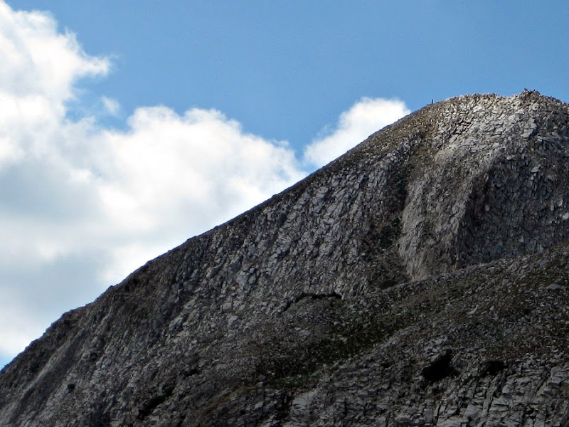
The route up.

There was a person on top.

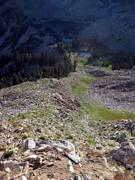
More views down Dry Creek towards Happy Valley. A cool little lake.

From the saddle it is a fun ridge walk to the base of the summit cone of Pfeifferhorn.

Maybird Gulch.

To the southeast.

On the summit. Looking east over Little Cottonwood.

West over the Salt Lake Valley.

I thought about camping on the summit. But once up there if felt a bit precarious. Plus, there really wasn't a flat place to lay my sleeping bag.

The view of Antelope Island in the Great Salt Lake from 11000' above sea level.

Had the summit to myself. Until this ass come up and started hogging all the space.

More views coming down the ridge.


Found about the only flat place to lay a sleeping bag on the ridge. The views were pretty, pretty, pretty, pretty, pret-tee good.


Spent about twenty minutes watching these guys play on the last patch of snow.

Sunset.


Woke up in the morning to a nice view of the Pfeif and Utah Lake.

This is the trail that I missed on the way up. Steep, but easy going back down to Red Pine Lakes and back to the truck.

For future reference.


