We woke at 2 a.m. to begin our trek to the summit. The route was nasty-- lots of loose scree and volcanic ash. At times it was like climbing an enormous sand dune. By 4 a.m. the mountain had already rejected two of us. By the end of the day only 4 out of 9 people would reach the summit.
A timeline:
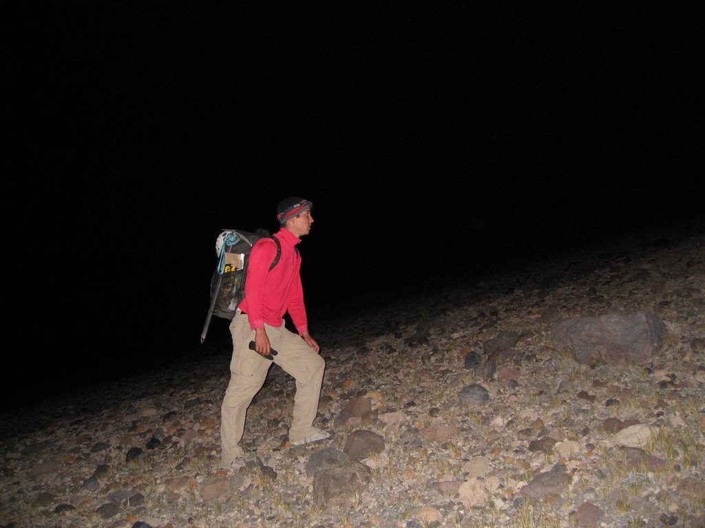
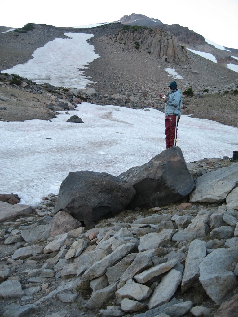
Hiking on the moon. 8800 ft. 4:30 am.

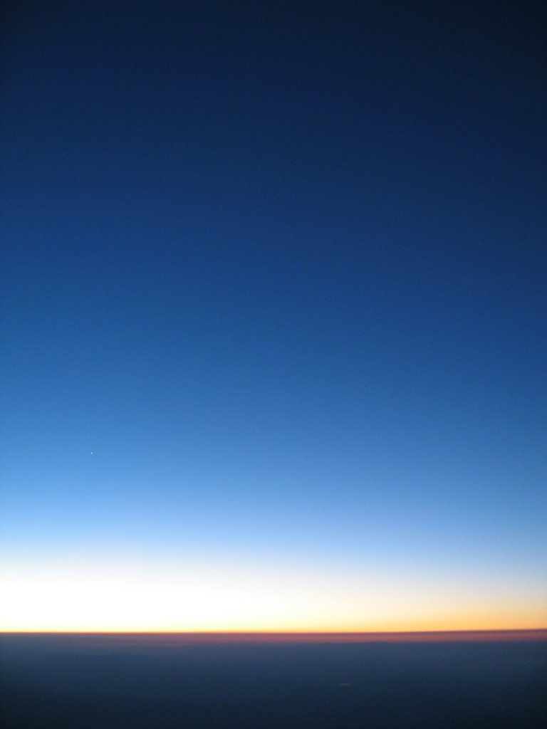
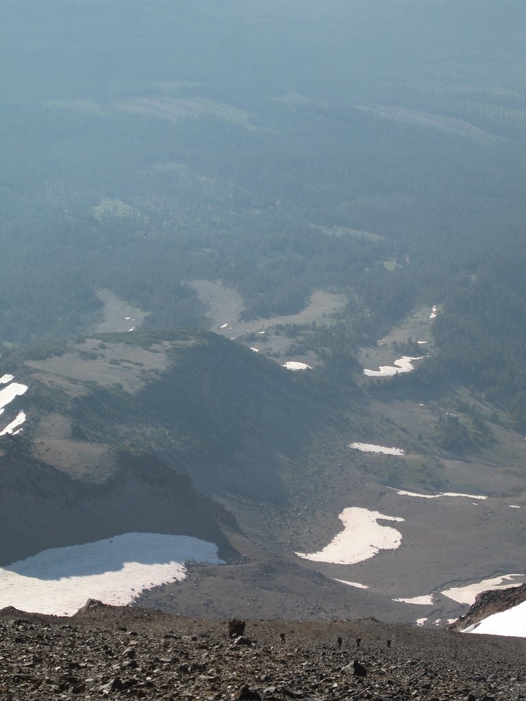
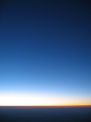
Earth glow at sunrise. 10300 ft. 5:45 am.
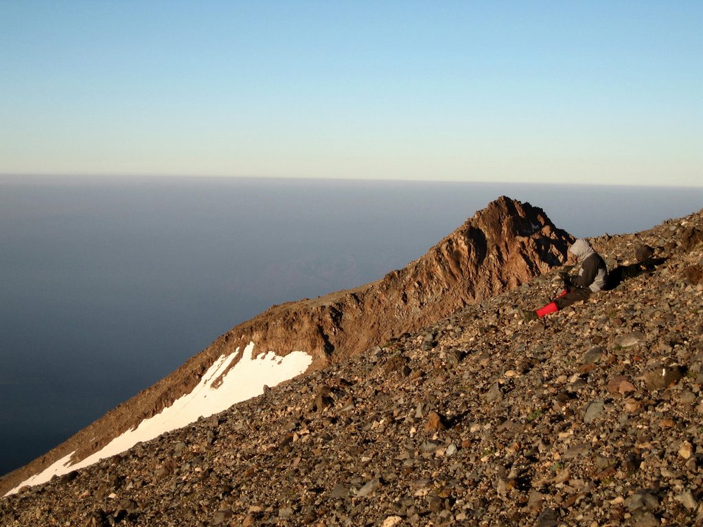
Phong relaxing. California below. 11600 ft. 6:41 am.
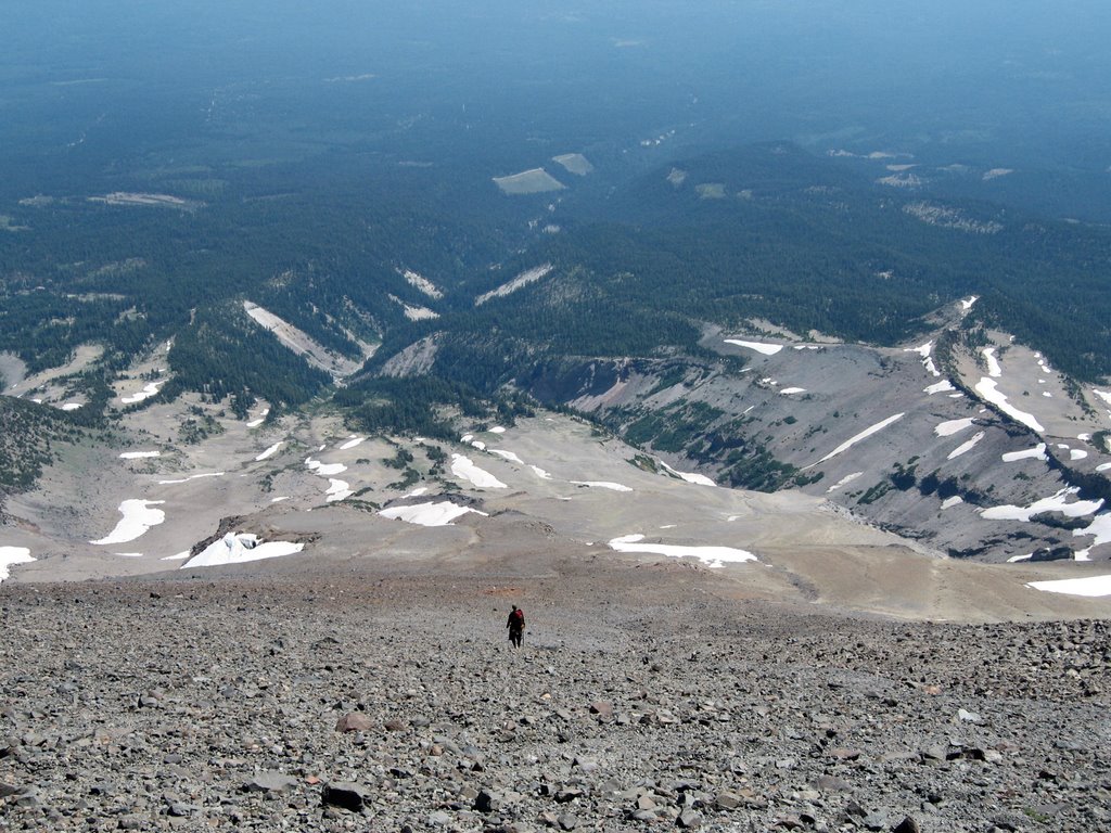
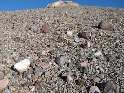
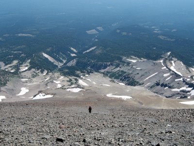
Death scree. The route goes straight up this stuff. 12200 ft. 7:24 am.
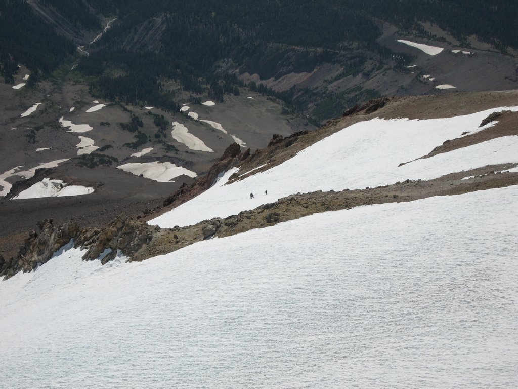
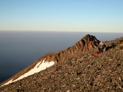
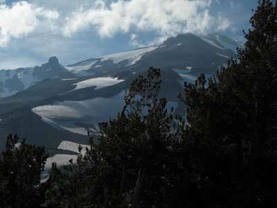
Coming up Wintun ridge. 12900 ft. 7:59 am.
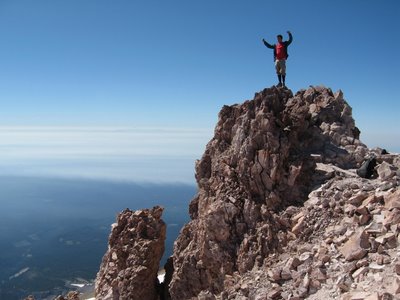
On the summit. 14,162 ft. 10:10 am.
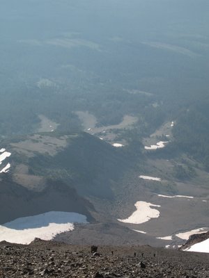
Drew, Phong, and Paula coming up the Wintun glacier. As seen from the summit. 11:02 am.

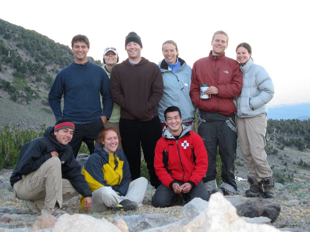
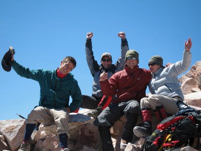
The Four Summit-eers-- 8 hours and 40 minutes after leaving basecamp. 7700 vertical feet from the parking lot! 12:10 pm.
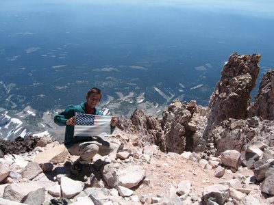
I love this country. 14162 ft. 12:26 pm. (That's right-- I spent more than 2 hours on the summit!)
Going down. That is a lot of scree! 11500 ft. 1:50 pm.
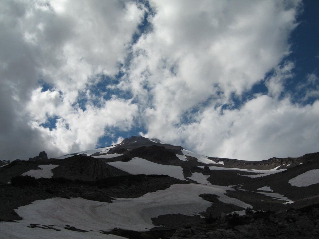
Our route followed this prominent ridge all the way to the top. 7500 ft. 4:58 pm.
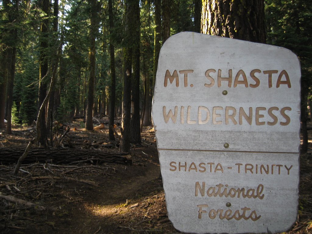
Wilderness. The end of the line. 6600 ft. 5:50 p.m.